Torn-Down Tuesday: Early pioneers visited Black Rock Post Office in 1840s

       By Steve Cichon
       steve@buffalostories.com
       @stevebuffalo

When James L. Barton established the Black Rock Post Office in 1817, the Village of Black Rock was bigger than its neighbor to the south, the Village of Buffalo.

The home and office of Dr. Morgan G. Lewis at Niagara Street and Auburn Avenue, which served as the Black Rock Post Office in the 1840s and 1850s.

Barton’s father was partner with Peter Porter in the firm Porter & Barton, which established the Black Rock port as a center of trade and commerce. Black Rock was an early favorite as the terminus of the Erie Canal, especially with Peter Porter serving in Congress at the time the negotiations were happening in the early 1820s.

An advertisement from the Black Rock Beacon in 1824.

When the canal came to Buffalo instead, the younger Barton created a partnership with Judge Samuel Wilkerson, who was the champion in Buffalo’s canal efforts. Barton used both Buffalo and Black Rock harbors to create an early shipping monopoly along the Niagara River.

As postmaster, Barton had a somewhat captive retail audience to look at his wares.

The early pioneers of what is now Black Rock, Buffalo’s upper West Side and North Buffalo would have had to pick up their mail at the Black Rock Post Office, which moved several times through the years as different men were named postmaster.

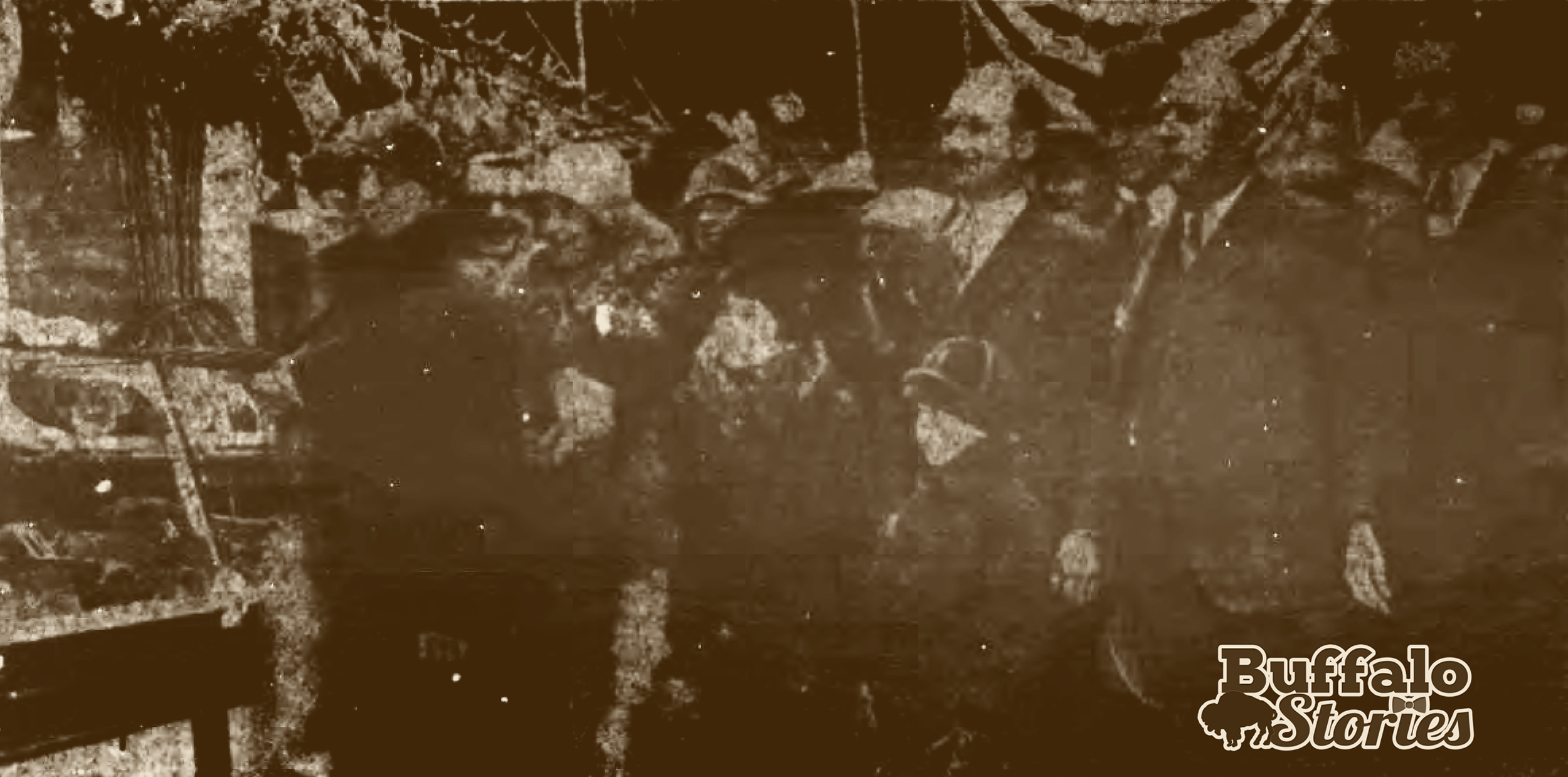
When this building at the corner of Niagara Street and Auburn Avenue was the Black Rock Post Office, it was the home and office of Dr. Morgan G. Lewis. Aside from being postmaster, Lewis was also a physician, health inspector and village treasurer. As a colonel in the U.S. Army, Lewis also helped negotiate peace treaties with 13 Native American tribes near the Brazos River in Texas, including the Comanche, Waco and Wichita in 1846.

Lewis was, according to his obituary in The Advocate, “a leading man in the part of the city where he resided, and highly respected wherever he was known.” It’s assumed that the post office moved from this spot when he died in 1858.

Torn-Down Tuesday: The Black Rock Market

By Steve Cichon
steve@buffalostories.com
@stevebuffalo

“Built to serve 50,000 families” and “equipped in the finest and most modern manner,” the Black Rock Market came to be after years of lobbying by the Grant-Amherst Political Association.

The Black Rock Public Market, Grant Street between Amherst St and Scajaquada Creek.

Mayor Francis X. Schwab spoke at a rally after the city brought the property in 1925.

“It has been a hard fight since the conception of the Black Rock market, but an eleventh hour effort won over the deciding votes” for the acquisition of the site,” the mayor told “the huge crowd.”

1926 ad.

There had been proposals for a public market in Black Rock dating back to at least 1903, when the firm directed by America’s first female architect, Louise Bethune, created plans for a Flemish-inspired building.

1903 Black Rock Market proposal

Part of the following year’s 1926 grand opening celebration included throwing the switch on Amherst Street’s new electric street lights from Elmwood to Military. A celebratory banquet was given right next door to the new market at Thomas Dorywalski’s Hall, 930 Grant St.

Dorywalski’s would have been close to the Grant Street entrance of the current Tops parking lot.

In 1959, the market was torn down to make way for the Scajaquada Expressway. Part of the property where the market once stood is now part of the Tops Market property at Amherst and Grant Streets.

A look inside the Black Rock Market, 1926

The forgotten Black Rock Market

By Steve Cichon
steve@buffalostories.com
@stevebuffalo

When we think of old fashioned Public markets in Buffalo, we think of the Broadway Market. But it wasn’t too long ago that there were a handful of them around the city– including in Black Rock.

For 23 years, where Tops is at Grant and Amherst, next to the Scajaquada Expressway, once stood the mostly forgotten Black Rock Market.

Torn-Down Tuesday: The mills of the Black Rock Canal, 1899

By Steve Cichon
steve@buffalostories.com
@stevebuffalo

When you look at the water when you’re driving along the I-190 between the Peace Bridge and the International Rail Bridge, you’re looking at the Black Rock Canal.

Buffalo Stories archives

In 1899, on this spot, you would have been surrounded by grain storage, milling and malting infrastructure. The photo above shows the foot of Ferry Street looking toward Breckenridge – or in other words, if you’re driving along the I-190 north, this is the area across the water starting at the Ferry Street bascule lift bridge (which was built 14 years after this photo was taken).

This 1894 map shows the mills in the photo at the top, in the area that is now Broderick Park. The I-190 now runs along what is the lower shore of the Black Rock Canal on this map. Rich Products manufacturing and headquarters now takes up the space between West Ferry and Breckenridge on this map.

The Frontier, Clinton and Queen City mills were destroyed by fire in 1901.

Erie Canal, ‘Atlantic’s back door,’ opened 191 years ago

By Steve Cichon
steve@buffalostories.com
@stevebuffalo

Buffalo became “the Atlantic’s back door” when the Erie Canal opened for business 191 years ago today.

Buffalo Harbor in 1825.

The village of Buffalo was a town of about 2,400 at the time. When a ceremonial start to the digging of the canal in Buffalo was held in 1823, everyone in the town and surrounding villages like Black Rock and Buffalo Plains (now both a part of the City of Buffalo) was invited to come celebrate. They were also asked to bring their tools and plow animals.

The Village of Buffalo, 1825.

The effort was a community one. A group of men from the Buffalo Plains — now the area along Main Street from Niagara Falls Boulevard to Sisters Hospital — drove a team of 12 oxen down to the area that is now Canalside to start digging.

The men and the animals worked all day, and the only payment was found flowing from the barrels of pure rye whiskey set up along what was destined to become the banks of the Erie Canal.

“Our whiskey then was the pure article, made from rye, without adulteration,” wrote pioneer Buffalonian William Hodge, who remembered the events from when he was a boy. “Along the line of the canal, at convenient distances, was to be found another barrel of whiskey, pure old rye, with part of the head cut out and tin dipper lying by and all were expected to help themselves.”

A little more than two years later, on Oct. 26, 1825, the entire town poured back into that same area for the gala opening of this marvel of modern engineering.

Buffalo from Lake Erie, including the lighthouse, 1823

That morning, the Village of Buffalo echoed with cannon fire at 9 a.m., the official start of the parade to the canal terminus. A band led the way for a cadre of soldiers and sailors, followed by the spade-carrying laborers who did most of the digging, followed by hundreds of citizens. At the end of the parade was a carriage carrying Gov. DeWitt Clinton and Sen. Samuel Wilkeson — whose work in dredging Buffalo Harbor made the entire event possible.

With a ceremonial jug of water pulled from Lake Erie in tow, Gov. Clinton climbed aboard “The Seneca Chief” bound for New York City at exactly 10 a.m.

Waiting to hear the previous cannon. Buffalo Stories archives
Waiting to hear the previous cannon. (Buffalo Stories archives)

A cannon fired as the boat left, and in the days before telephone or even telegraph, news of the successful start of the journey was sent to Albany by a relay of cannon fire. Each time a cannon shot was heard by an artilleryman slightly further up the canal, he’d fire a shot. The news traveled 280 miles in a mind-boggling hour and 40 minutes.

The Seneca Chief and Gov. Clinton arrived in New York City on Nov. 4, 1825. That ceremonial jug of Lake Erie water was poured into the Atlantic for the wedding of the waters and Buffalo’s fate was sealed as the east’s last stop on the way to the American West.

Torn-Down Tuesday: Niagara and Amherst streets, 1971

By Steve Cichon
steve@buffalostories.com
@stevebuffalo

“One gateway to Riverside” was the title of this photo when it was published in The News in 1971.

Buffalo News archives

“The photo (is) in the immediate vicinity of Amherst and Niagara Sts., where traffic from the Niagara section of the Thruway makes one of its exits into the Riverside-Black Rock area.

“It IS an old area. Some of its settlers were there before the turn of the century. They were property proud. But the community’s pride has suffered in recent years. Blight has made incursions there too.”

This old tavern was built as a “store block and row of flats” by Frederick Lenz in 1909. A tavern since at least 1919, it was known through the years as Charles Haas’ saloon, Bob & Ginger’s Saloon, the River-Rock Grill, and Millitello’s, among other names.

The building’s location — only yards from the watery international border — made it a hot spot during Prohibition years. In 1929, Augusta Lindforth was arrested behind the bar while tending four half-barrels of beer.

The spot where this building stood — southwest corner of Niagara and Amherst — has been a parking lot for decades now.